Catalina Island
Virtual Lab Introduction
Introduction
This
fieldtrip is written at a level appropriate for an introductory geology college
student or for a person that has no training but is willing to put in a little
effort to learn more about geology in general. It’s an observational trip,
meaning that we will observe characteristics of the rock units/features and
then apply them as the fieldtrip progresses in other areas. The is a supporting
PowerPoint for this trip and
it is advised that you view it before proceeding with the virtual lab.
Location
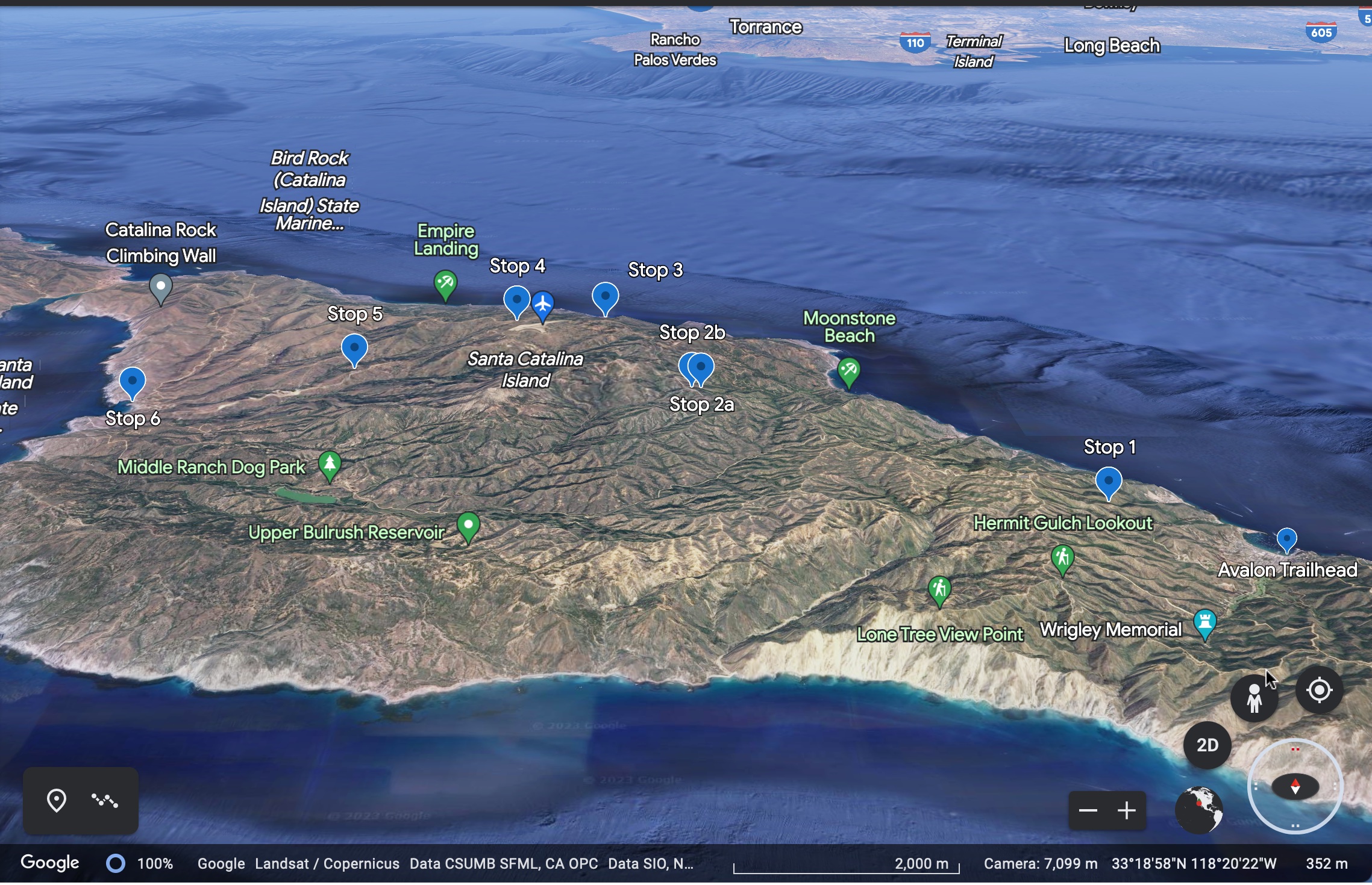
Regional
view of Catalina Island and the mainland looking north. (Google Earth Image)
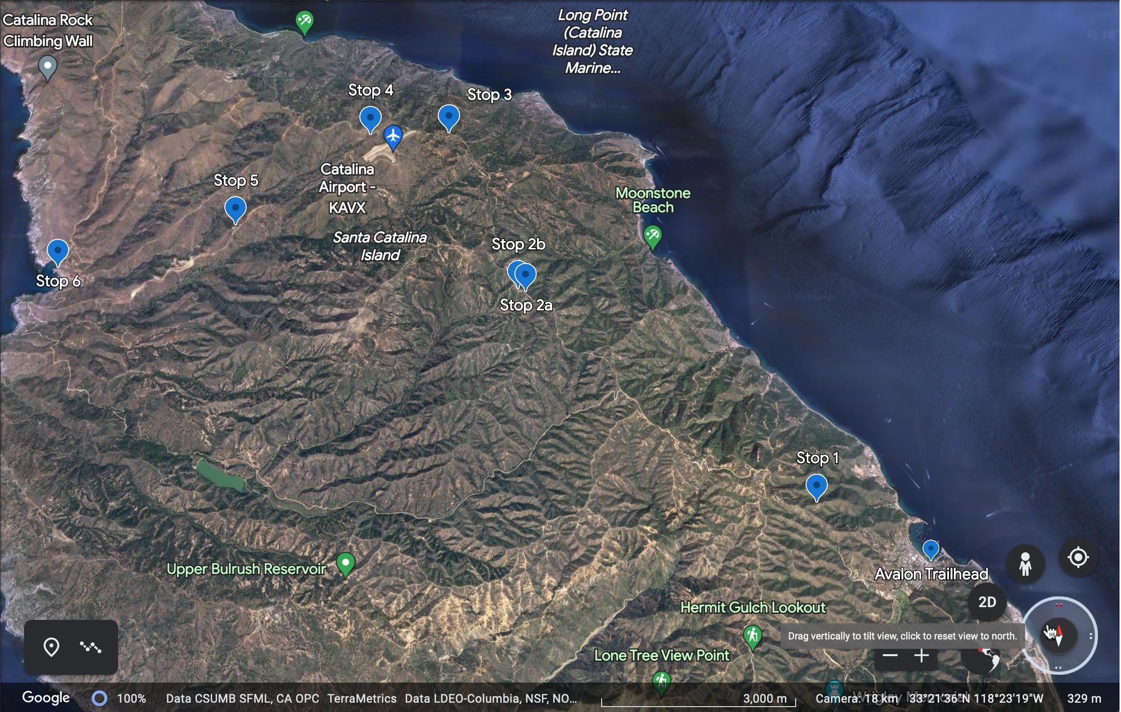
Local
view with fieldtrip stops. The Trailhead and Stop 6 are at sea level, the
highest is Stop 3 at 1555 feet. (Google Earth Image)
All
figures and pictures are public domain or produced by myself
for this website unless noted.