| Common links by type of Award | ||||||
|---|---|---|---|---|---|---|
| HOME | Alphabetical | By Council | By Category | By Area | Misc. Links | Gen Requirements |
HORSE RIDGE, BEAR MOUNTAIN, STRAY HORSE CREEK, BLUE RIVER, PUEBLO PARK, KELLY'S ARCH SEGMENTS
BLUE PRIMITIVE AREA TRAILS
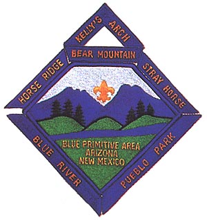
BLUE PRIMITIVE AREA TRAILS
Requirements:
1. The Blue Range Primitive Area is in east-central Arizona between State Highway 666 and the New Mexico border and contains some of Arizona's most remote mountain country.
2. It is named for the Blue River which flows north and south through the center of the area.
3. It is similar in ruggedness to the White Mountains to the west and is also a three season area.
4. Hikes range in length from 22 to 42 miles and from 3800 to 9100 feet in elevation.
5. YOU MUST CONTACT THE U.S. FOREST SERVICE BEFORE TAKING ANY OF THESE HIKES AND FOLLOW THEIR INSTRUCTIONS.
Note: USGS maps do not have trails numbers. You will need USFS Apache-Sitravcs National Forest Map, obtained at Forest Service Ranger Stations. This map covers all the hikes in this series.