| Common links by type of Award | ||||||
|---|---|---|---|---|---|---|
| HOME | Alphabetical | By Council | By Category | By Area | Misc. Links | Gen Requirements |
ZION NARROWS, LAKE MEAD, WHIPPLE TRAIL
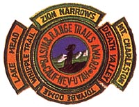
ZION NARROWS
WHITE ROCK CANYON HIKE
Requirements:PINTO VALLEY HIKE
Requirements:CRANES NEST RAPIDS HIKE
Requirements: