Stop 2
John Turbeville MiraCosta College
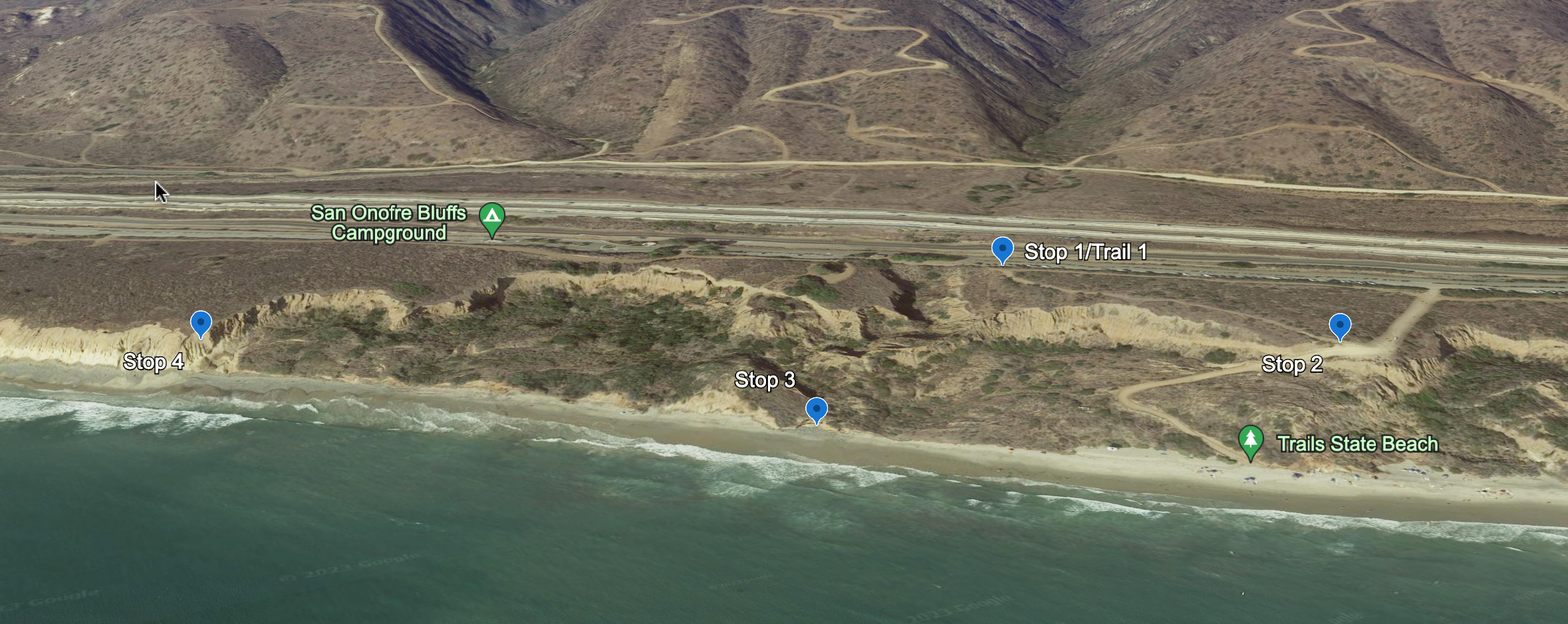
Stop 2 is at the overview
area to the middle of the sea-cliff on Trail #1.
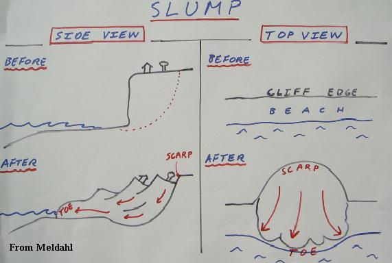
At this stop, we will look at slumping in the Monterey Formation. The slumping (1) is progressively
moving the sea-cliffs toward the campground, the railroad and I-5. This type of mass wasting (slumping (2)is common in soft
sediments.
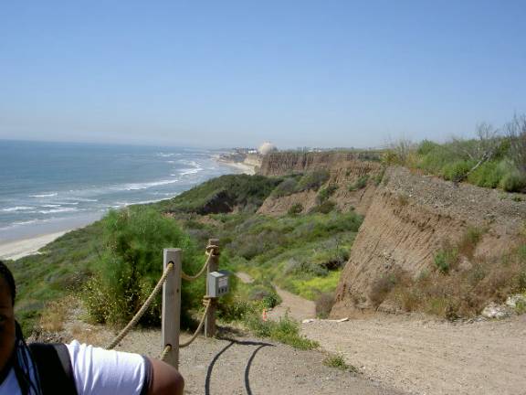
This shot is looking north-west
from Trail#1. You can see the large slumps in the foreground. These areas are
underlain by the very soft Monterey Formation. The Cristianitos Fault is
located where you see the cliff as being near vertical directly INLINE
with the nuclear powerplant. On the other side of the Cristianitos Fault, the
sea-cliff is near vertical as the base is composed of the tanish San Mateo
Formation.
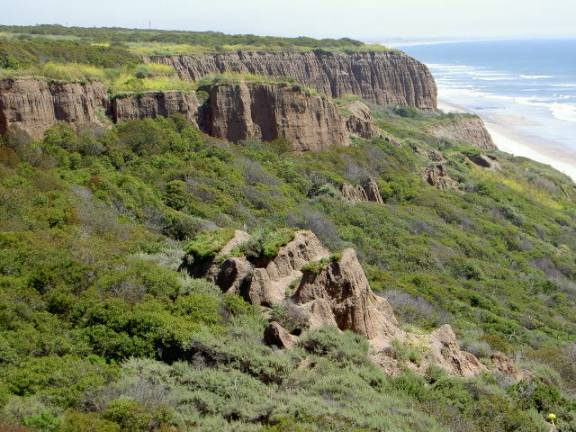
This shot is looking
south-east from Trail #1. This area is underlain by the very soft Monterey
Formation. Large slumps dominate the landscape here. You can see some backwards rotation in the block
that is in the middle of this picture.
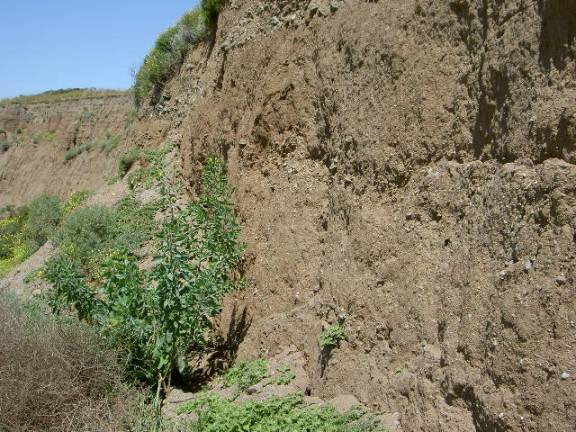
Walking down the trail to the
beach you pass some large exposures of alluvial deposits. These form the upper
portion of the sea-cliffs in the San Onofre area. They are locally derived and
very young deposits.
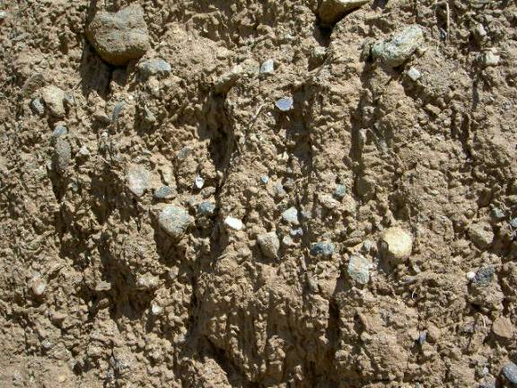
Notice how poorly sorted and
angular the rock fragments are in the alluvial deposits.