Introduction
John Turbeville
MiraCosta College
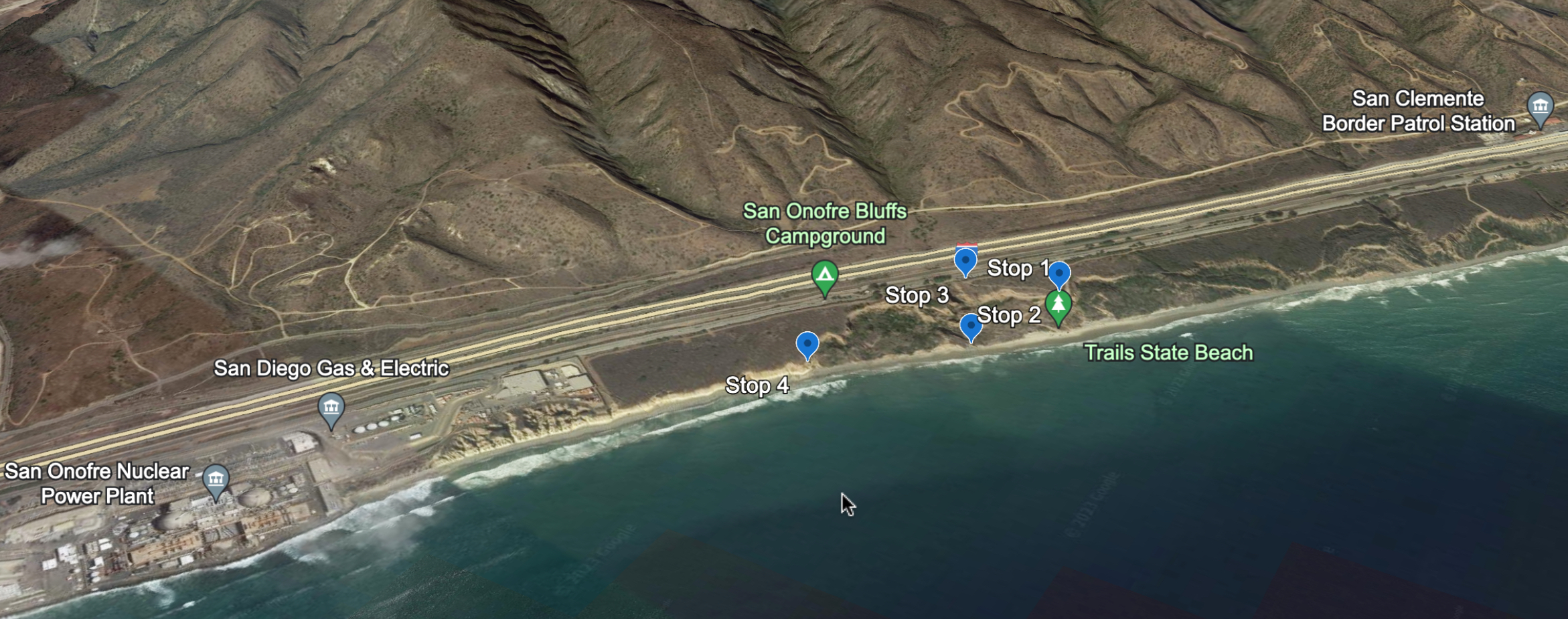
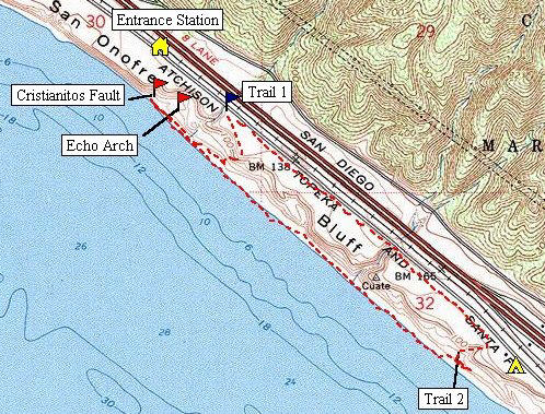
Location map for the San Onofre area
The purpose of this trip is to explore the geologic
hazards in the San Onofre Area related to fault activity and soft-sediment
slumping. The Cristianitos Fault has a
spectacular exposure here and it is observed in close proximity to the San Onofre
Nuclear Powerplant. What threat does it
pose to the nuclear powerplant? The slumping in the Monterey Formation makes
the beach (near the cliffs) very dangerous here and is eroding the sea-cliff
towards the day-use area, the railroad, and Interstate 5. How long until there
is damage to the railroad or the freeway?
These questions and more will be answered on this fieldtrip.
The area itself is approximately 2 miles south of
We start hiking on Trail #1 towards the top of the
sea cliff, then down the service road/trail to the beach. The Cristianitos Fault exposure is about
1000 feet down the beach to the north. Note: the Echo Arch Camp is off-limits
due to slumping, so do not enter this area.